Unpositioned
Something is wrong
Atlas Maior of 1665
CONNECTIONS
No connections
LOCATION HISTORY
No location history available for this book.
FULL RECORD
Accession Number: 9783836538039
Site: rokeby-2025-05-15
Collection: N/A
Location: N/A
Binding Type: Hard Back
Book Images
Hover to see live images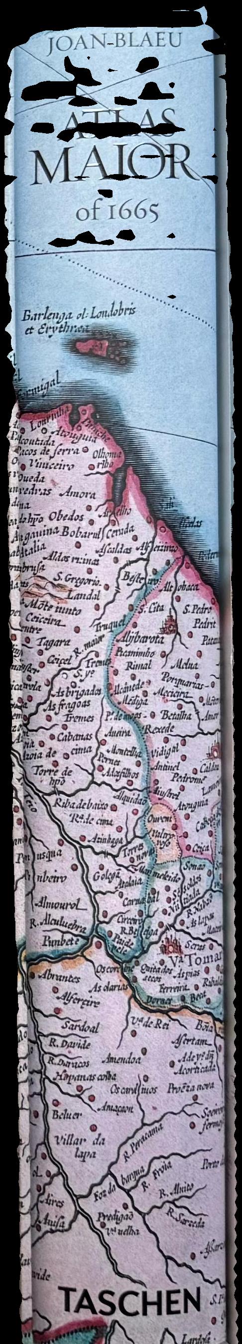
No live
No live
VERNON DATA
Geography/Earth sciences/Environmental sciences/Science
Atlases/Maps/Cartographic materials/Non-book materials/Library materials
Maps/Cartographic materials/Non-book materials/Library materials
Topographic maps/Maps/Cartographic materials/Non-book materials/Library materials
World history/History
Drawing/Graphic arts/Art/Arts